perFORM 2014 designs are in, jury to deliberate
Architecture students and interns from across North America submitted work yesterday. Architecture guided by the form of a leaf. Design concepts inspired by a rechargeable
Architecture students and interns from across North America submitted work yesterday. Architecture guided by the form of a leaf. Design concepts inspired by a rechargeable
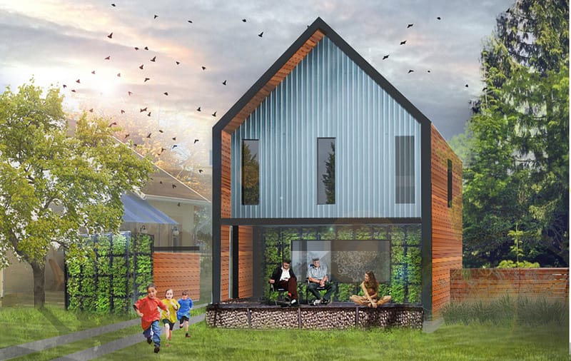
Jury Awards University of Oregon Architectural Student with First Place Today we’re excited to unveil, in honor of Earth Day, the winners of our perFORM
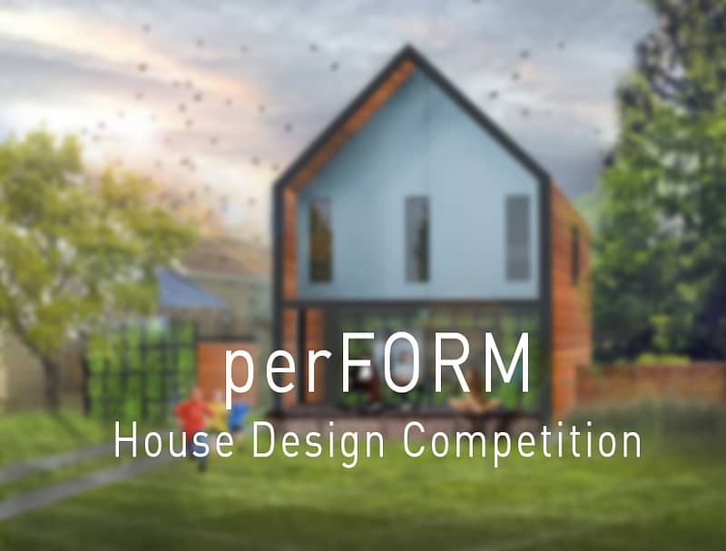
Learn about the perFORM House Design Competition in new video. With the winners of the perFORM 2014 House Design Competition announced last week on Earth
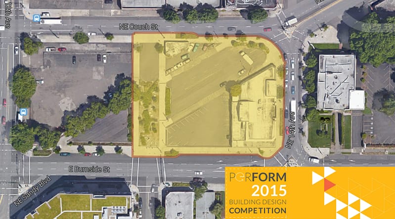
We’re pleased to announce the launch of the perFORM 2015 Building Design Competition, a contest challenging emerging architectural professionals to design a net zero energy,
perFORM 2015, our second annual building design competition, appears to be capturing the attention of North America’s emerging architectural professionals. Six weeks out from the

Longtime Portland architecture critic and advocate Randy Gragg has joined the perFORM 2015 Building Design Competition jury. Now director of University of Oregon’s John Yeon
Come celebrate the opening of Hammer & Hand’s high performance building exhibit at AIA Portland. We now have the science and techniques to build for
With the First Thursday exhibit opening party fast approaching for “Evolution of Enclosure,” we’re now in the final push of production. H&H’s Jason Woods is
In a ceremony on August 6th at AIA Portland’s Center for Architecture, builder Hammer & Hand unveiled the three winners of the perFORM 2015 Building
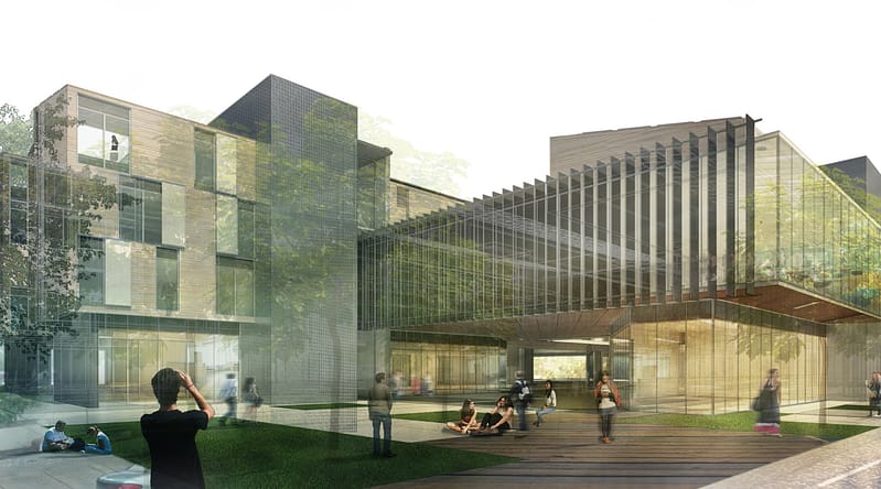
Image above shows last year’s perFORM 2015 1st place winning entry by Jon Lund, Narek Mirzaei and Luis Sabater Musa of the University of Cincinnati. We’re